Wyndham Waters Estate
Estate Subdivisions
This subdivision was located on a featureless piece of very flat land bounded by Sayers Road (which is a heavily trafficked collector road with overhead HV powerlines both sides), and the Melbourne Outfall Sewer channel. With the introduction of roadways with swales, a very large water treatment and open water system and the promise of community facilities; this development achieved extraordinary sales rates being one of the fastest selling developments in Australia in the initial sales period.
Land Surveying
- Initial feature survey
- Preparation of all plans of subdivision including asset recording
- Preparation of sales plans
Millar Merrigan have been responsible for all aspects of Land Surveying for this project. Complexities in this job have been typical of those normally encountered in a project of this size. Added complexity has come from the use of a Body Corporate that covers the estate. The plans of subdivision contain special rules for the body corporate that cover: the operation of the communal recreational facility, time frames for commencement and completion of development, requirements to keep building sites clean and controls over the built form and landscaping via the controls placed by the Wyndham Waters Design Guidelines.
Civil Engineering
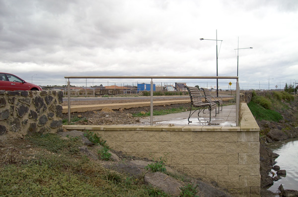
- A central large wetland and open water system provides a focus for the development and treats flows from the site
- An innovative system to source and recycle water to ensure the quality of the water in the ponds in terms of low flow was provided
- Reuse of excavated material from the wetlands, was utilised to fill allotments providing flood protection, and reduced the material carted from site
- A new major road link, New Forsyth Road was constructed
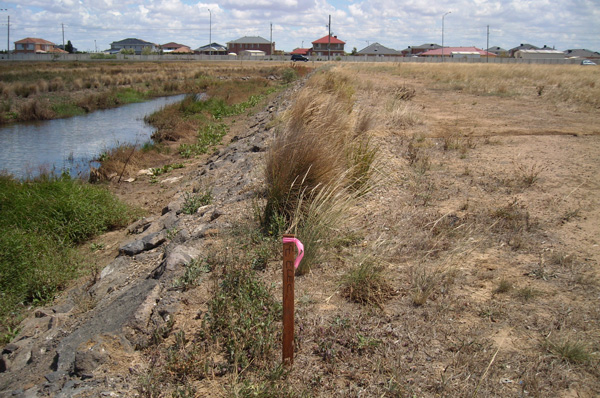
- A main Melbourne Water open channel was designed to reduce the potential for local flooding
- The developer constructed a communal facility centre on the site, which has completed the transformation of this site into a desirable place to live
The challenge with this site was to provide WSUD principles to a site that had significant potential for flooding, due to its very flat nature and large upstream catchments, in a manner that would be attractive to purchasers and surpass the Melbourne Water treatment targets. This had to be achieved on a very flat rocky site, which was also traversed by a heavily trafficked connecting road.
A further challenge from an engineering perspective was that the planning for the estate was based on high allotment density with road reserves being typically 15 metres and the average lot size being approximately 470m 2. The road reserve width imposed severe limitations on the design of the swale system, which was changed a number of times to suit the requirements of Council.